Day 2: Klamath Falls to Bishop, CA - 476 miles

Day 2 dawned cloudy, cold and windy. Got the snow slop washed off the car and headed down Hwy 139 towards Alturas, CA.

Snow clouds were threatening and a small rise took us to a nice turnout in the Modac Forest. Brrrrrrrr.


I wanted to continue on 139 at Canby towards Adin and Susanville. A great drive through the mountains, but I needed gas and the dark snowy clouds were down on the deck. So, off east to Alturas and Hwy 395. First time paying over 6 bucks a gallon. Sheesh.


Headed down US 395 - our home for the next 430 miles. Near Madeline, CA.


Further on down 395

Litchfield, CA


The weather was nice, the roads were clear and the traffic was sparse. We pulled into Standish for a quick look see.


First site of the Sierras at Honey Lake, elev. 3,990.


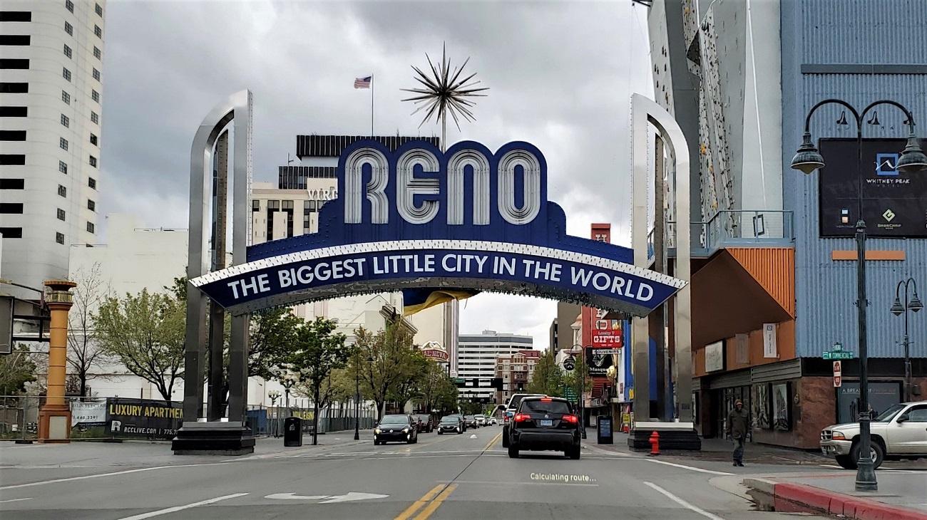
Easy run into Reno. Ducked into a casino for a quick lunch and threw away 20 bucks in a slot machine, then back on the road.

The wind was gusting hard as we wound our way south of Reno and Carson City. Topaz Lake is right on the California/Nevada border.

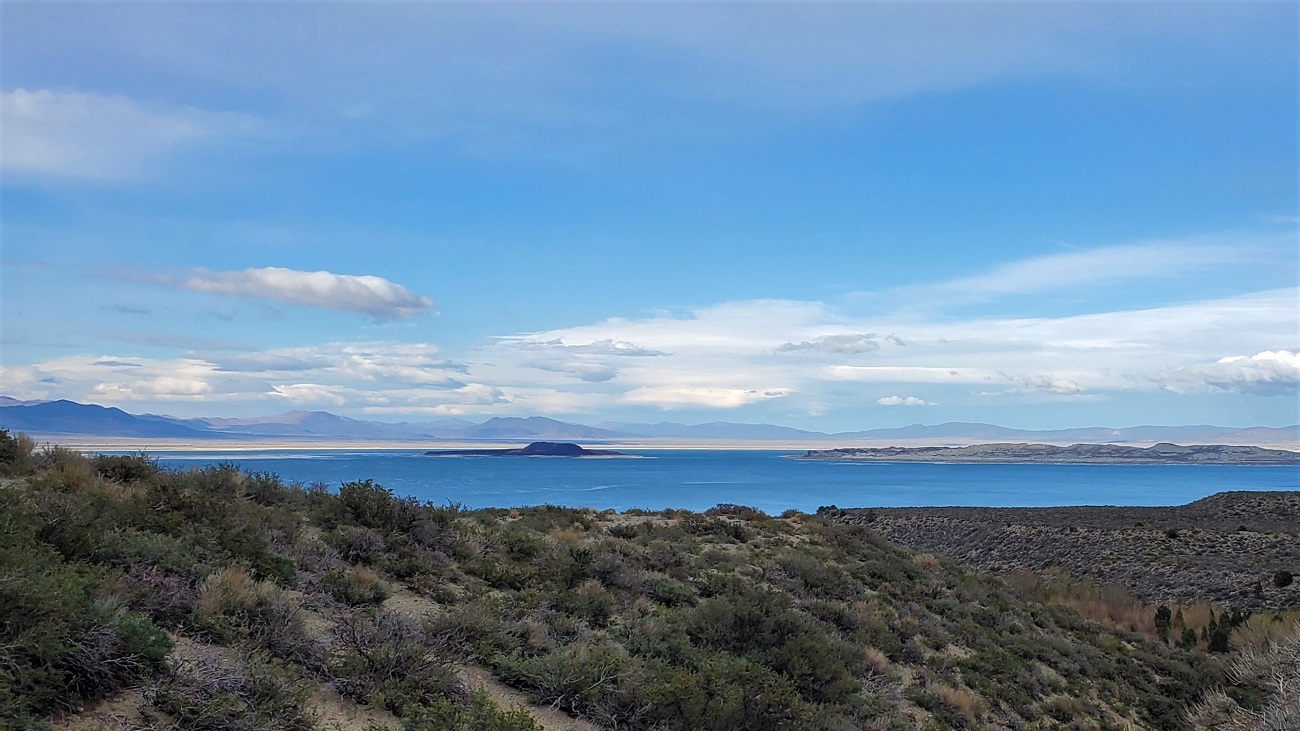
The weather hugging the mountains was quite stormy, but looked OK to the east. We crest Conway Summit, the highest point on 395, at 8,138 feet. It's freezing and snowing, but the road is clear and we are cruising along just fine. About eight miles north of Mono Lake the road starts a long descent to the valley floor, 2,000 feet below. The Mono Lake Vista Point provides a great viewpoint just before you start down. Nothing doing with seeing the Sierras. Kinda why I came this way.


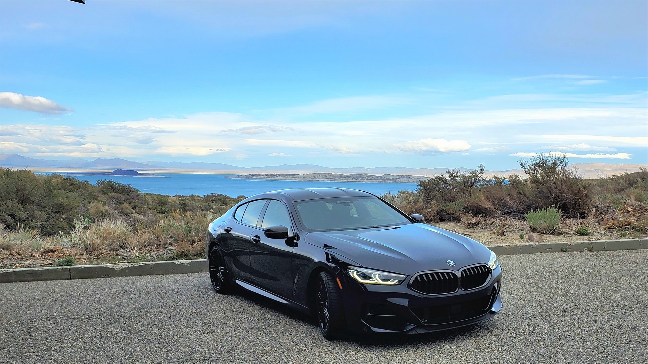
We made our way down to the valley floor and stopped near Lee Vining on the SW edge of Mono Lake. You can turn right at Lee Vining and head west up Hwy 120 and follow a spectacular road up to 10,000 feet and eventually end up in Yosemite. Not today, though. Tomorrow not looking good, either.
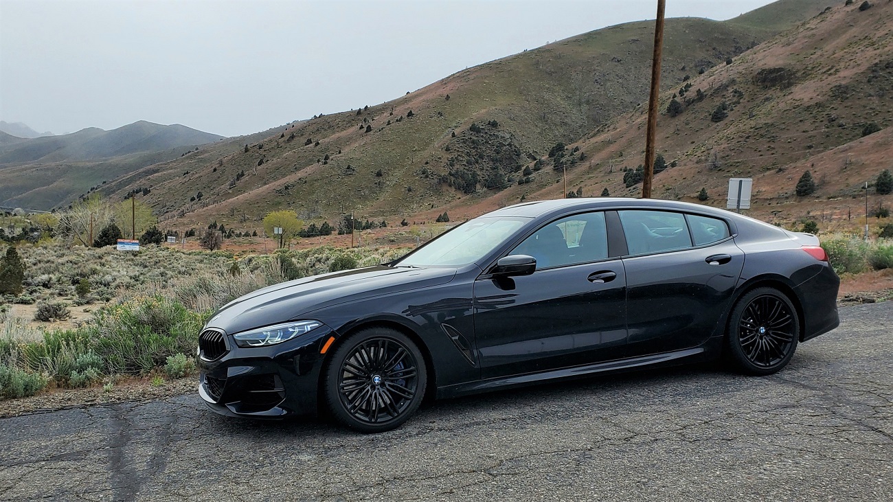
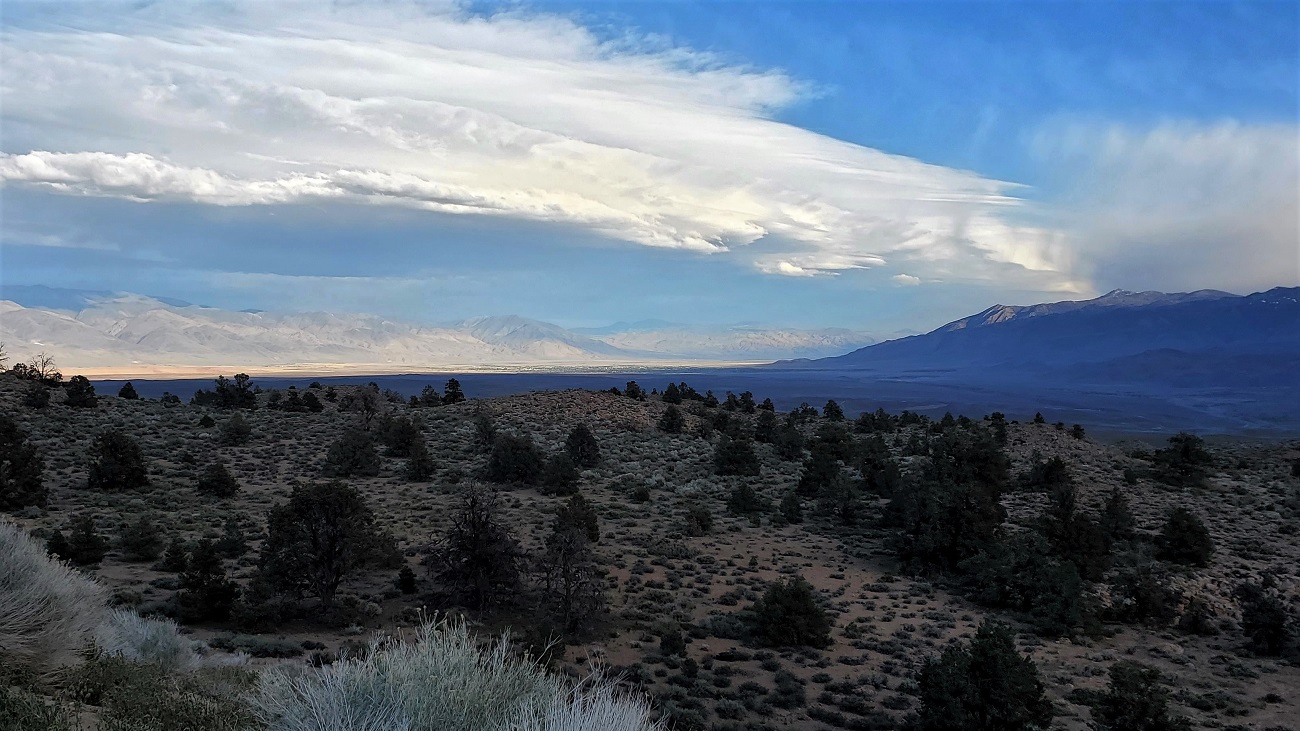
By now it's about 6 PM and the light is fading. The road starts to climb and the temperature starts to drop - eventually dipping to 28F. The heavy snow that starts is coming in sideways at 50 mph. The road becomes covered in snow and I'm not sure how high we have to go yet. The M850 functions flawlessly - the SottoZeros are gripping good. There are not a lot of cars on the road anymore. It seems we are in the soup for about 15 miles and we crest snow covered Deadman Summit at 8,036 feet. The road descends, the snow lightens up and we pass Mammoth Lakes Ski Area, but you'd never know it. Another 25 miles gets us out of the snow and we end up at this spectacular vista point 20 miles north of Bishop, bathed in sunlight way down in the valley below. Hard to realize we were in a blizzard 30 minutes ago. Things are lookin' up.
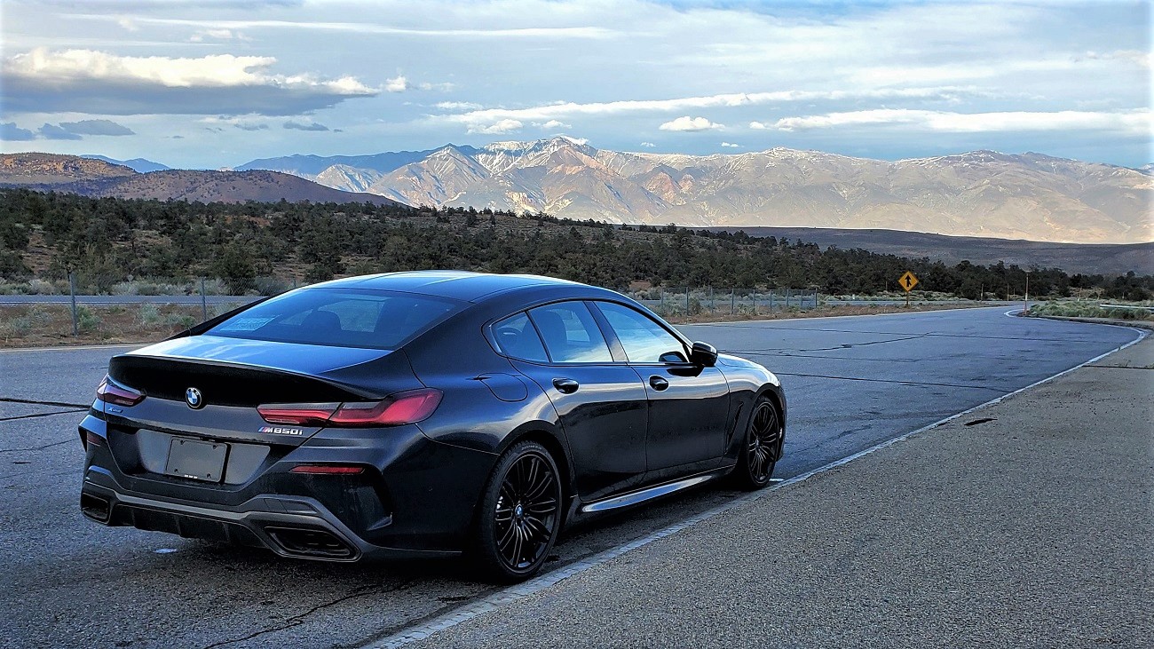


Bishop was a welcome sight 30 minutes later. 768 miles for the first two days. Pretty sure we won't need the snow tires during the next 3,500 miles. Brisket for dinner.